
The highest ground in the South East, and a lot of big roofs.
The two things that actually shape a solar quote here, beyond the postcode.
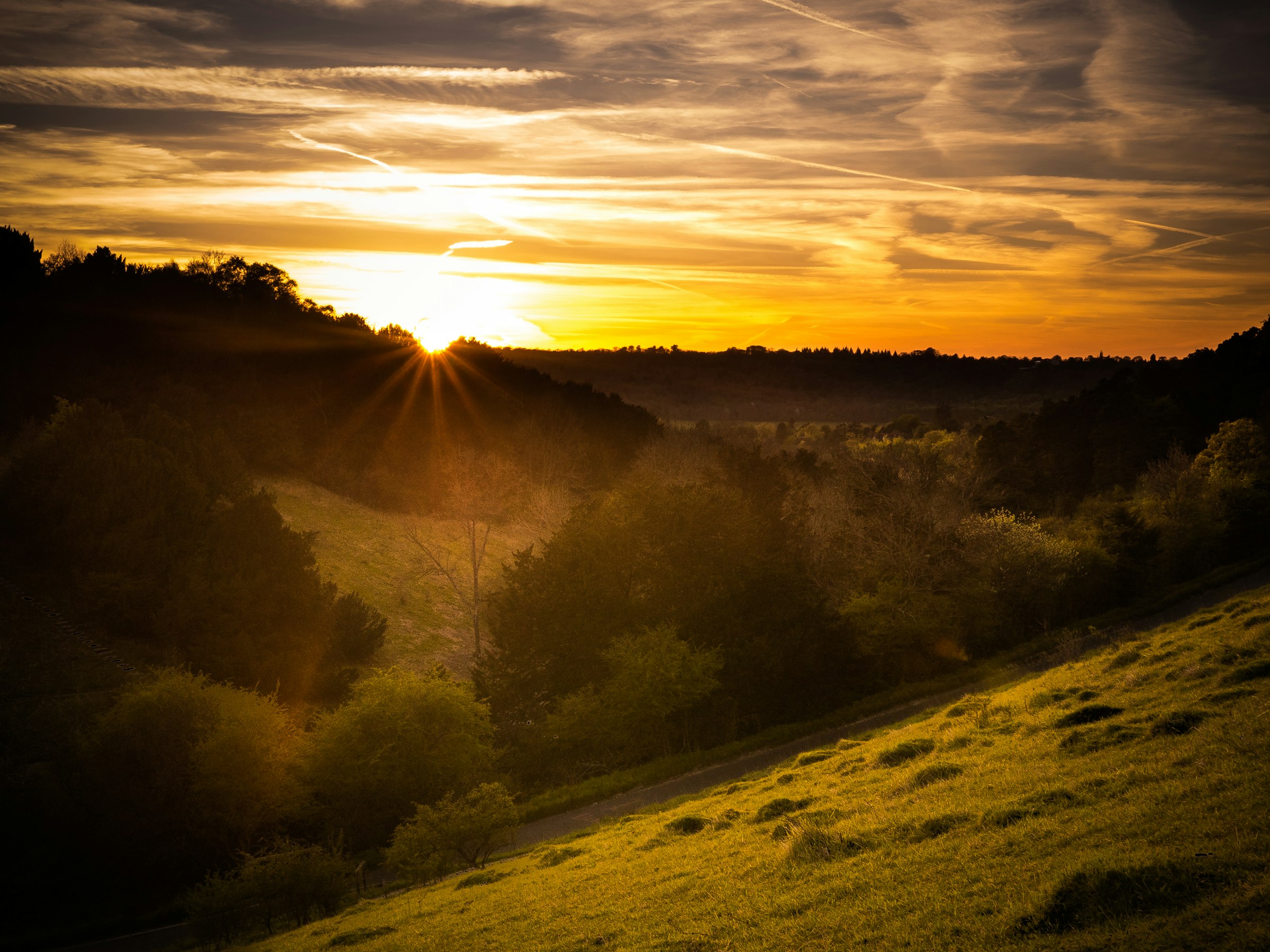
Leith Hill and the Surrey Hills.
The Surrey Hills National Landscape covers around 163 square miles, roughly a quarter of the county, and has been protected since 1958, originally as an Area of Outstanding Natural Beauty before the whole designation was rebranded “National Landscape” in 2023. Leith Hill, near Coldharbour, is its highest point, with a natural summit of 294 metres. An 18th-century Gothic tower built on top in 1765 by Richard Hull takes the total to 313 metres, the highest point anywhere in South East England.
On a clear day from the top of the tower, you can reportedly see the English Channel to the south and the clock face of Big Ben to the north. It’s not a solar statistic, but it says something about the terrain we survey: a lot of genuine elevation change packed into a fairly small county.
A county built around the railway.
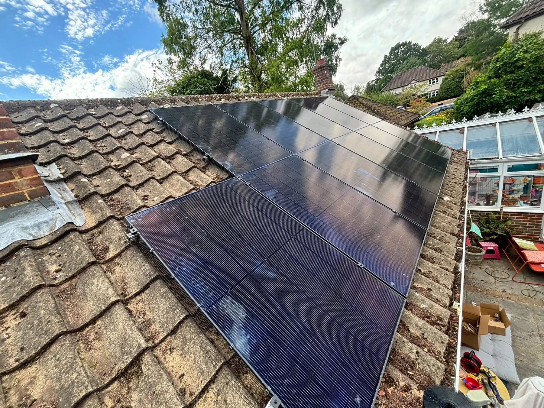
Surrey grew up around its railway lines into London, and it shows in the housing stock. The interwar years in particular left a lot of mock-Tudor detached houses across towns like Weybridge, Esher and Cobham, built for commuters and often with a decent-sized roof to work with. Older market towns like Guildford and Reigate mix in Victorian villas and listed buildings, while newer executive developments have filled in the gaps more recently.
That range means a standard package rarely fits. A pitched 1930s roof, a Victorian villa with a more complex roofline and a modern new-build all need a different approach at survey stage, which is exactly why we don’t quote off a brochure.